
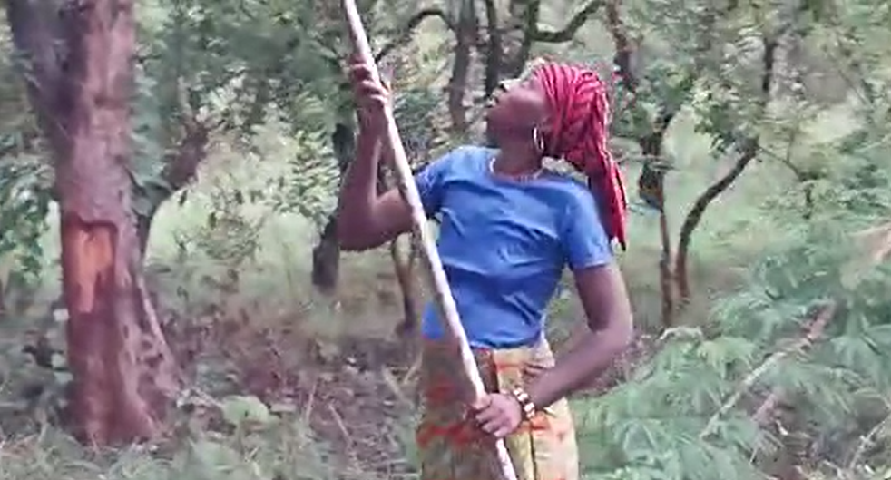
Seed harvesting began in the villages in the second group (you’ll recall that the 26 villages are divided into three groups corresponding to the ripening period of the trees: the first group of villages harvests seeds from trees ripening in January-February, the second group harvests seeds from trees ripening in March-April and the third group harvests seeds from trees ripening in May-June). The harvesting technique differs depending on the tree species. Here, on the Uapaca Somon, the women use long, light bamboos at the end of which they attach blades to pluck the clusters of seeds from the top of the tree. For other species, the women collect the seeds that have fallen to the ground: All the seed families have been fitted with large tarpaulins to make it easier to collect the seeds (see news item ‘Equipment for the families’). In these images, the harvesters are not using them.
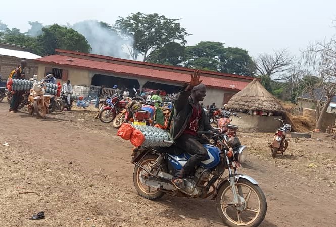
The Guinean families involved in the project are extremely poor. They lack clothes and tools, even for their usual farming activities. In the first year of the project, the participants had asked for a distinctive sign that they belonged to the project, which we provided, although we were sceptical about its real usefulness. In the second year, we provided tarpaulins for the seed families and boots for the field families: The large ARBORISE-GUIDRE tarpaulins are placed under the seed tree to collect the seeds, for the duration of the harvest phase. The tarpaulin makes the seeds clearly visible and facilitates harvesting. Above all, it protects against animals that might hide in the grass or branches under the trees. It also protects against abrasions caused by thorny grasses. ARBORISE-GUIDRE boots protect the lower legs of land families as they move around and work on sowing, clearing and establishing protective strips. In
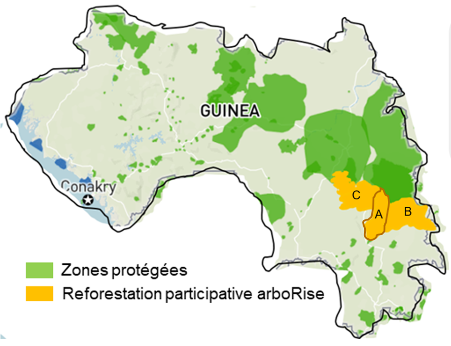
In 2024 arboRise is launching a new reforestation cycle in the sub-prefecture of Samana, neighbouring Linko. Preparations for this new stage have been underway for several months, with a reconnaissance visit in June 2022, a stakeholder consultation in five villages in January 2023 and the feasibility study with our second partner, EcoAct, culminating in the submission of the project description document to the Verra standard in December 2023. These images from our reconnaissance in June 2022 show the similarities between Linko and Samana, where we observed the same population density, the same type of agriculture, the same deforestation… and the same enthusiastic welcome in the villages: This warm welcome was confirmed during the stakeholder consultation with our partner EcoAct: the prefectoral, sub-prefectoral and village authorities (village chiefs, councils of elders) promised us their full support to ensure the success of the project in their region: In the village
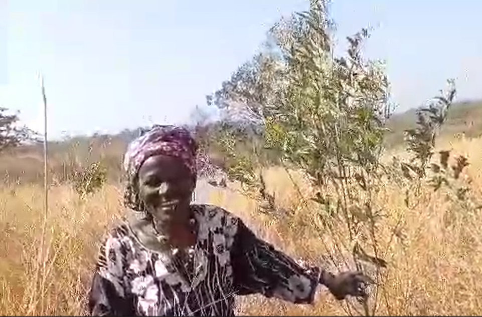
January 16 is Saint Marcel’s day, the saint of the seed growers. That’s for sure a good day to launch the 2024 campaign in the sub-prefecture of Linko. This will be the third and final year of the reforestation cycle in the Commune Rurale of Linko. Next year sees the start of a new three-year cycle in the neighbouring sub-prefecture of Damaro. But before that, there’s still a lot to do: First of all, we need to check that the 2023 work has been completed and that the land reforested to date has been properly marked and protected by effective firebreaks. Then we need to repeat the fire prevention and land maintenance instructions. This is also an opportunity to highlight the good examples: the model protective strips, the high germination rates, the hedgerows provided, and so on. Finally, it’s time to start harvesting seeds, plan delivery dates, identify new plot
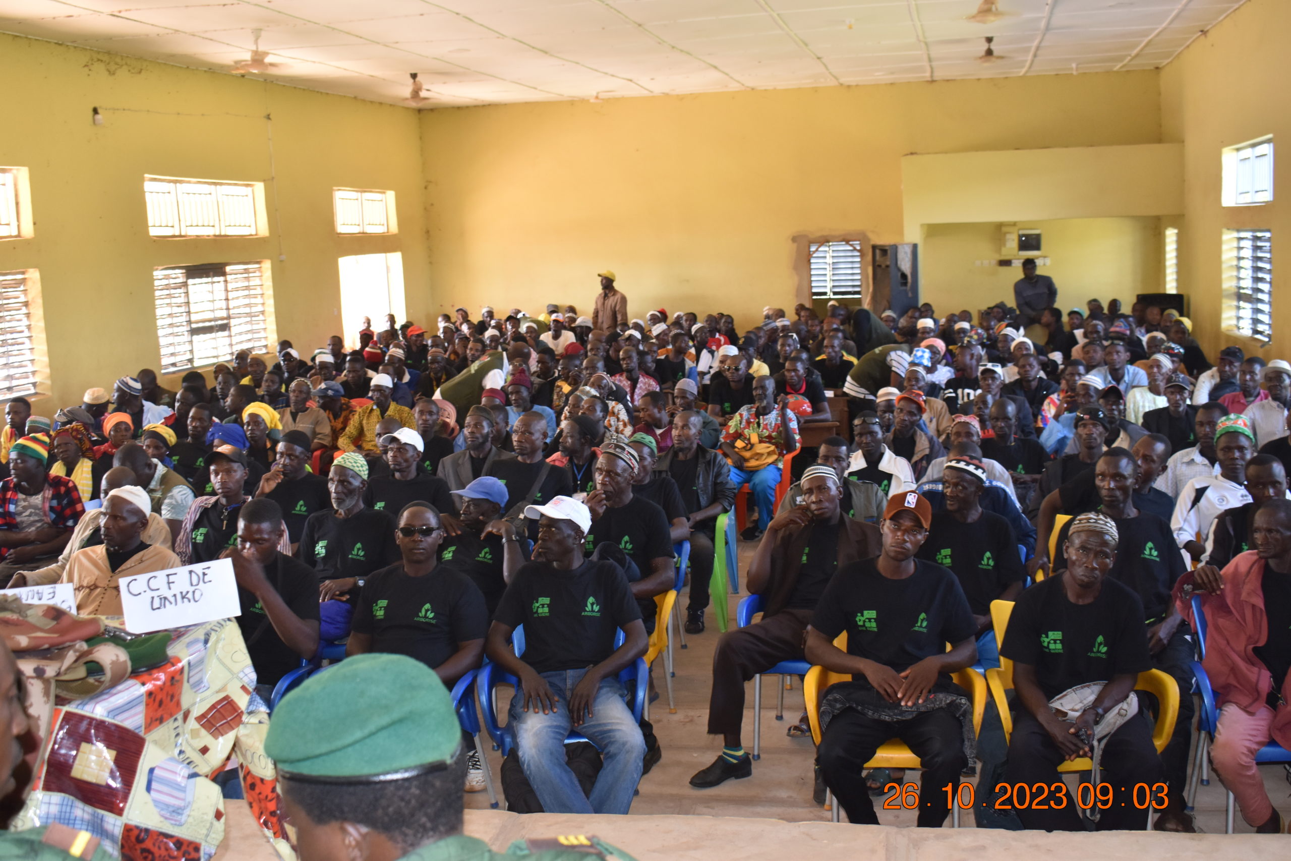
Bringing together all the families in Linko’s arboRise family cooperative has several objectives: foster mutual trust between families provide a forum for exchanging best practice enable the families concerned to decide for themselves, without any involvement from arboRise, how the income from the carbon credits is to be distributed. This deserves some explanation. At the outset, some people thought that the project would somehow create competition between family plots and distribute more money to the families on whose plots the trees grow best. A form of rivalry between families and villages was then perceptible, with each criticising the others, convinced that they belonged to those who were doing well (an attitude not so different from what we see in Europe, where everyone considers themselves to be very virtuous in terms of CO2 emissions, compared with the others). The auditor of our carbon certification standard will not be measuring the biomass

To increase the environmental impact of a carbon project, the Gold Standard requires each project to define a conservation perimeter equivalent to 10% of the project area. This area must be protected from any exploitation activity and is not eligible to receive income from carbon credits. It is truly a perimeter dedicated to biodiversity. This is easier said than done, because in the case of arboRise it means finding more than 180 hectares for each cycle of 1,500 hectares. Fortunately, the communities we work with are very interested in preserving their environment. They know exactly which areas of the village are important. These include the spring heads (where water gushes out of the ground), which are very fragile and vital for providing the water needed in the village: for cooking, for market gardening, for cleaning, etc. sacred forests, which often surround the villages and into which it is forbidden to
For the past year, we have been measuring NDVI, i.e. biomass on reforested land, using images from the European Union’s Sentinel II satellite. To validate this tool, we need to ensure that the satellite measurement values match the reality observed in the field. That’s what we wanted to find out during our latest supervisory visit. We visited 15 sites to be reforested in 2021 and 2022, some of the most extreme in terms of biomass measured by satellite: basically the best and worst sites. Of this non-representative sample, the observations on 11 plots correspond to the satellite values (70%). For the remaining 4 sites, the satellite values are too negative in 3 out of 4 cases. Satellite measurements could therefore be used to help our beneficiaries by telling them where their land is situated, in terms of biomass, in relation to all the other land. This will enable them to