Why a drone?

drone reforestation reforestation with drones

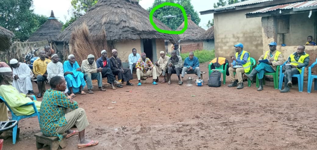
In each village, our team also explains that our drone will be used to check the growth of trees on the land. Indeed, to guarantee our donors the traceability of their donation, arboRise commits to send them for five years an aerial image of the land which reforestation they financed.

There are only five helicopters in the whole of Guinea and it is very rare that they fly over this region. So imagine a drone: nobody has ever heard of it!  So it is important to introduce this mysterious object. And only after receiving official approval from the village authorities will we use it.

Wanted: “seed families”

graines à semer tree seeds Baumsamen für die Direktsaat

Our team is back in the field to finalise the reforestation campaign. Let’s remember that they have concluded agreements with 75 local farming families who wish to restore 2 hectares of land by planting a forest. Now they need to find the seeds to sow !

So lokk for 75 families who own one of our 40 native seed trees. Of course, we have to check that the tree is healthy and old enough to produce seeds. Each “seed family” collects 5,000 seeds from its seed tree. The 750,000 seeds to sow from the 75 “seed families” will be sown on the 150 hectares of the 75 “field families”. This gives a density of 5,000 seeds per hectare.

This diversity is the strength of arboRise:

  • By mobilising many families, arboRise creates emulation and encourages the sharing of experiences between them. And there is room for almost every family in the village.
  • By collecting seeds from many different forest species and seed trees, the biodiversity of species and genetic diversity is increased. These are two key principles for making the forest more resilient in the context of climate change (see this exciting presentation on the occasion of Pro Silva‘s 25th anniversary).

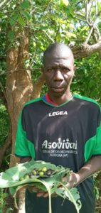
Here is Mr Siaka Camara posing in front of his seed tree:

Siaka Camara devant ses graines à semer / in front of his seeds to sow / vor seinen Baumsamen

The arboRise approach values the seed trees of these families. Since they suddenly “produce” money, there is less temptation to cut these trees down.

Biodiversity Day

forêt diversifiée

Saturday 22 May is Biodiversity Day ! At arboRise we love diversified forests.

But why is this important? It’s quite simple: life is only possible because it is diverse.

On the one hand, there are the basic interactions: every life form is food or shelter for another living being.

On the other hand, there are all the complementary associations that reinforce each other. An example: the Three Sisters culture of the American Indians. By planting maize, beans and squash together, the Three Sisters method increases the yield of each crop, while improving the soil:

  • The tall maize stalks provide a structure for the bean vines to climb on;
  • the beans fertilise the maize and squash by fixing nitrogen in the soil;
  • and the squash shades out weeds among the crops with its broad leaves.

Each plant benefits from the services of the other two. In economics this is called “economies of scope“, when making two different products is cheaper than making them separately. There are many examples of how “economies of scope” can be used, especially in agriculture. Planting walnut trees alongside a barley field increases the productivity of the field because the roots of the trees bring water up from the subsoil and the branches protect the soil from erosion. And the nuts produce oil and the walnut wood is prized for carpentry. This is agroforestry, one of the solutions for the ecological transition of our agriculture.

Unfortunately, most of the time, our society prefers “economies of scale” which consist in ditributing fixed costs over as many units of the same product as possible. Unfortunately, this standardisation creates fragile monocultures, which then require pesticides or herbicides.

Focusing on biodiversity and economies of scope is the principle adopted by arboRise: instead of seeking economies of scale by focusing on one or two species, raised in nurseries, and planting monocultures, we prefer to maximise the diversity of tree species to favour eco-system services and thus obtain the lowest reforestation costs.

Supporting arboRise means planting a diversified forest and therefore also doing something for biodiversity, one of the United Nations’ sustainable development goals 

Satellites and reforestation

images satellite Satellitenbilder sa

Our field coordinators are forced to take a break for a week: on the one hand they are a bit ill (neither Covid nor Ebola, thanks God!), on the other hand the end of Ramadan festivities absorb all the energies in the villages and it is useless to continue our efforts. Let’s use this short break to answer this question: What is the link between satellite imagery and deforestation? There is a lot of buzz about Space these days, but is it really useful to send people and objects over our heads? The answer is clearly yes for the Sentinel satellites that are used for environmental observations.

Two examples of research carried out by CIRAD (Centre International de Recherche Agronomique pour le Développement) using (free!) data from the Sentinel 2 satellite:

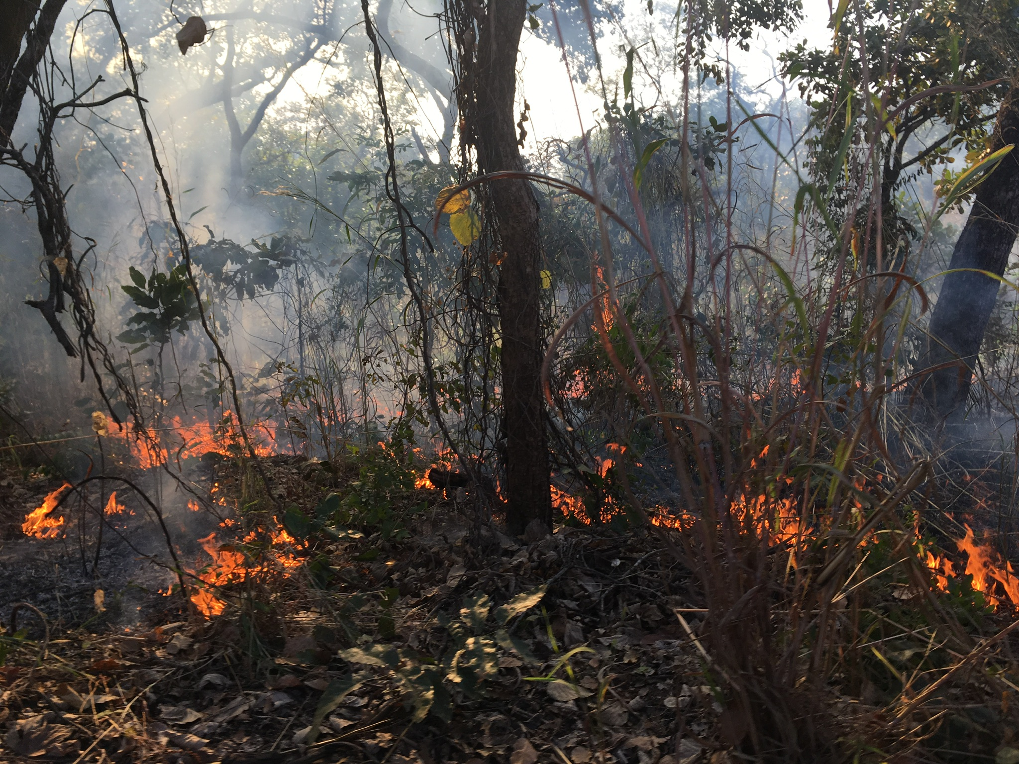
Mapping the impact of vegetation fires in tropical Africa (article). The satellite images (which reflect 92% of the reality on the ground!) show that vegetation fires have caused the burning of 5,878 km2 of vegetation cover, i.e. 10.39% of the national territory of Togo. Utilitarian fires represent 22% against 78% for uncontrolled fires.

Some regions are more affected by fires: “In Togo, utilitarian fires are common for cleaning fields, pastoralism and straw renewal […] they often escape human control, gain ground and become uncontrolled fires […] Regionally, the Kara region and the Savanes region remain the most exposed to fires. This could be explained by the severity of the dry season in the northern regions and also by the structure and composition of the landscape.”

The satellite images also allow the identification of affected vegetation types: “The results reveal that savannahs, crops and fallows are the most impacted […]. The high percentages of these formations burnt can be explained by the fact that they contain a lot of grass. ”

Impact of cash crops on the forest (article): In Côte d’Ivoire, almost two-thirds of the forest cover has disappeared since 1990 (!) with a significant loss of biodiversity. Thanks to satellite images, it is possible to assess changes in land use and occupation, in particular the dynamics of deforestation and forest degradation.

The comparison between the sky views of 2016 and 2019 shows that the expansion of cash crops (cocoa, rubber and oil palm), undifferentiated crops and fallows as well as infrastructure has led to a deforestation rate of almost 5% per year (!).

It can be observed that it is particularly the protected forests that suffer: “To avoid detection within the classified forests, cocoa farmers destroy as little as possible of the existing vegetation during the first years of setting up a farm. As seedlings develop, large trees are gradually devitalized by fire to meet the increasing light requirements of young cocoa trees. Within just a few years, the initial dense forests are rapidly degraded and quickly converted to pure cocoa plantations. ”


These lessons also apply to Guinea, where farming practices are similar to those in neighbouring countries. At arboRise we intend to use these free satellite sources to measure the impact of our reforestation and to see the Linko region greening up before our eyes. You can see it with us: here is the satellite view of our action area as of 31 December 2020.
The tour goes on

coordonnées GPS GPS Koordinaten GPS coordinates

While in Switzerland the rain should soon give way to summer, in Guinea the very first showers have taken place, heralding the rainy season. And the tour of the villages goes on. As a reminder: our coordinators are looking for 75 families in 8 villages who are interested in reforesting a plot of land of 2 hectars in 2021, then another 2 hectares in 2022 and another 2 in 2023. So, of course, it takes time!

signature convention terrain Unterschrift Vereinbarung signature of the agreement
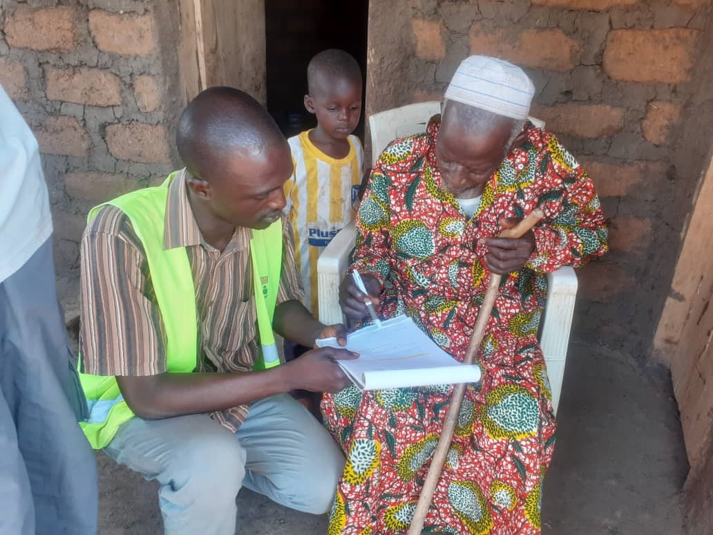
And there are many questions to be answered before signing the agreement, because the owners must commit to maintaining the reforested land for 3 years: building a hedge against cattle, and a firebreak against burning (this article explains the consequences of vegetation fires): This is followed by weeding around the young plants twice a year. With the support of arboRise of course, that’s what donations are for

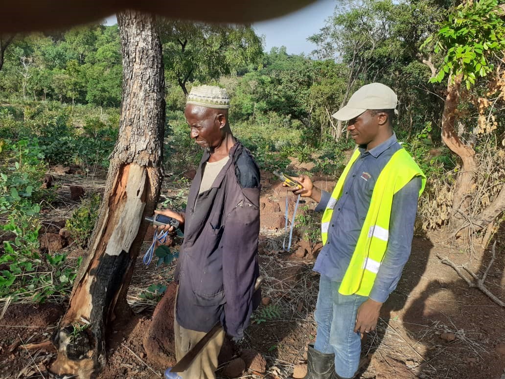
To facilitate the aerial photographs (which will be used to check each year that the forest is growing well), our two coordinators then take the GPS coordinates of each plot

First webinar of our association

wébinaire Webinar webinar

What a pleasure to meet our members today virtually at our first webinar ! After introducing Guinea, the country where our reforestation activities take place, we discovered the region through the eyes of our Vice-President, who is originally from the Kérouané region. Then the relationship between the population and the forest was discussed before the meeting was concluded with a question and answer session.

Would you like to receive the link to the recording of the webinar?  just let your coordinates here : info@arborise.org !

Fields to reforest

potentiel de reforestation potential aufforestungspotenzial

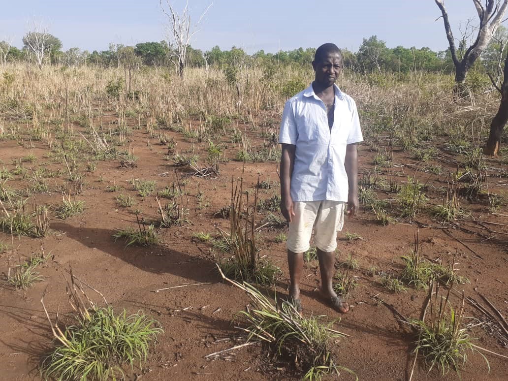
In each of the eight villages, the next step is now to find 10 families interested in revitalising a 6-hectare plot of unused, unwooded land. This reforestation potential are uncultivated or unworkable lands (too far away, sloping, stony, etc.). In these regions, each family has a lot of unused land because the fallow cycle can extend up to 25 years: a plot is cultivated for 5 years and then the soil is left to rest for 20 years. For this reforestation campaign, we will be sowing our seedballs on two of the six hectares (2 additional hectares next year, then the last 2 hectares in 2023), i.e. on 160 hectares in these villages in 2021.

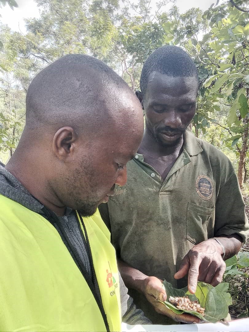
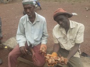
These field visits are also an opportunity to check that the seeds are at the right maturity. The picture shows seeds of carapa procera (“kobi” in Malinke), from which the famous touloucouna oil is extracted

huile de touloucouna touloucouna oil touloucouna Öl

For more information on our species:  Forest species chosen by arboRise enhance biodiversity

Welcome in the villages

signature convention de reboisement reforestation agreement

Our team goes to Linko to meet the sub-prefect and the mayor to sign the reforestation agreement (see our ethical principles). This small town of about 100 huts is the capital of a sub-prefecture the size of half the Canton of Vaud! Our two coordinators meet the authorities to present the project. As always, they are very honoured that their region has been chosen by arboRise. They feel very strongly about the desertification and are happy to be able to plant trees to remedy it. After the signing of the agreement between Linko and arboRise, the mayor suggests that the team meet with the chiefs of the surrounding villages. The communities of Woussoudou, Kissidou and Kogneni also received a very positive reception: the agreement was signed by the council of elders, before Pema and Mamadou continued on to the next villages.

Presentations in Kérouané

audience chez le Préfet de Kérouané

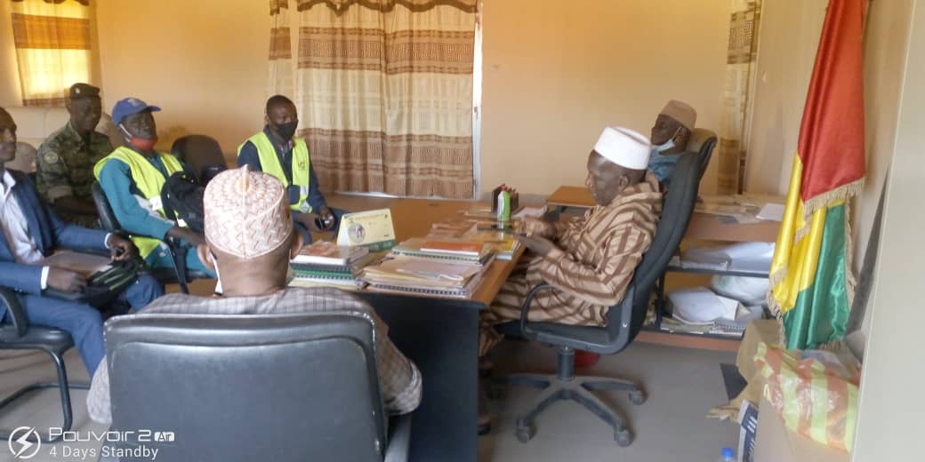
Having arrived in Kérouané without any problems, our two supervisors first meet with the head of the Water and Forestry Section, Albert Haba (in his official outfit), thanks to whom our project is being carried out. This meeting aims to ensure that the project is well understood by all parties.

Then, the team was received in audience by the Prefect of Kérouané who validates our approach and gives his official support to the project, because desertification is progressing and it is necessary to act urgently.

The moment can then be immortalised by a group photo in front of the Préfecture. These formal steps are important and absolutely necessary to ensure that all stakeholders speak with one voice when the project is presented in the villages.

Ready to go !

prêts au départ Startbereit Ready to go

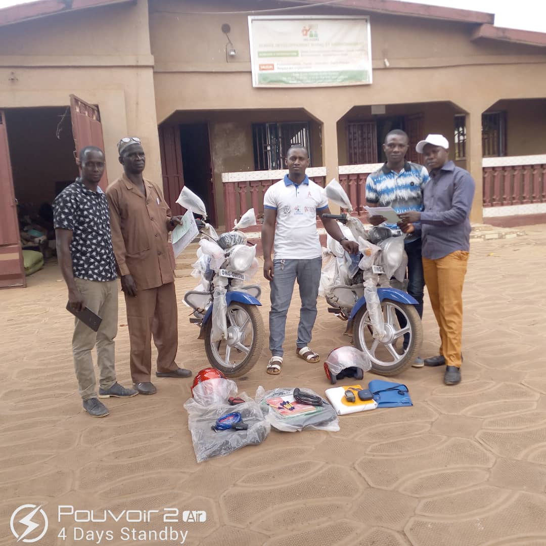
Here we are, all the equipment is gathered (Garmin, briefcases, cameras, GPS, etc.) and the team from Guidre, our local partner, is ready to leave for Kérouané. Although the journey is longer, our team decided to go via Kankan, the capital of Upper Guinea, as the roads are safer and of better quality. The outfits are designed to ensure safety on the road and protection from the dust, it is hot and heavy, 41° is announced in Kankan. Have a good trip!