Reforestation projects are sometimes criticised for simply displacing the problem by causing deforestation on other land nearby. For this reason, this phenomenon, known as “leakage”, is measured precisely in every carbon certification project.
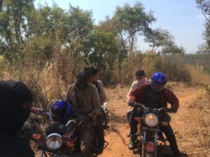
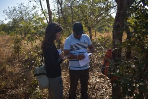
In this context arboRise, as in 2024, launched a Design Project in collaboration with the Ecole Polytechnique Fédérale de Lausanne (EPFL). This research project was led by Etienne de Labarrière and Aurélie Sakic, under the supervision of Charlotte Grossiord, Tenure Track Associate Professor, from the Plant Ecology Research Laboratory.
In the project region, farmers practise slash and burn agriculture: on these poor soils, cultivation quickly leads to a decline in fertility, requiring the land to be left fallow for several years to regenerate the soil. When the soil is once again fertile, the vegetation that has grown on the land is cut down and then burnt so that the ashes can transfer their mineral salts to the new crops. And so on.
Why are tropical soils poor? High humidity and high temperatures cause dead vegetation to decompose rapidly. The carbon present in dead branches, for example, escapes into the atmosphere in the form of CO2 and does not enough have time to be absorbed into the soil, so the soil lacks organic carbon. Heavy rain also washes the soil, removing nitrogen and minerals.

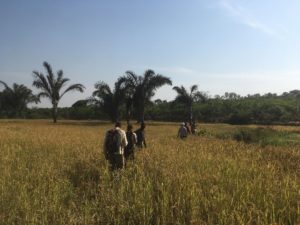
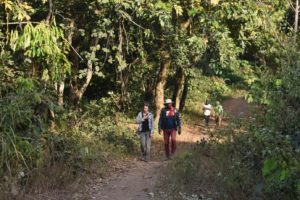
When you travel around the Linko region, it is striking to see that the vegetation cover is generally no more than 20 metres high. This is an indication that the entire area is subject to slash-and-burn agriculture. In fact, most of the ‘forests’ that can be seen are nothing more than more or less old fallow land. The whole perimeter is one huge field at different stages of cultivation/fallow, and true natural forests are rare.
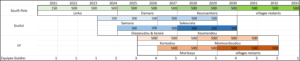
The challenge for our two researchers was to measure clearings over a very long period, since a crop cycle lasts around 15 years (5 years of cultivation, 10 years of fallow). The second challenge is that the length of the cropping cycle is not homogeneous: it is shorter on fertile land, for example in riverbeds, and it also depends on the labour available, distance from the village, etc.
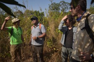
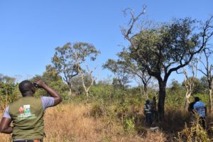
Our two specialists began by identifying, on historical aerial views of Google Earth, plots of land that are changing from woodland to cultivated land.
Two examples of change from fallow to cultivation between 2015 and 2021:

The NDVI (Normalized Difference Vegetation Index, a measure of vegetation health) values for the “wooded” year and the “cultivated” year are then compared for the coordinates of each plot, after standardising the annual NDVI using neutral zones (villages, roads, etc.). There is a significant difference in NDVI between wooded areas and cultivated or fallow areas. It is therefore possible to determine a level of NDVI above which land can be considered wooded and below which it is cultivated.

By detecting sudden drops in NDVI, we can determine for each year which areas have been cleared. In the example below, for the years 2024-2025, we can see that the area cleared in a single year (in red) is very large, confirming that slash-and-burn farming is common practice throughout the region:

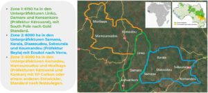
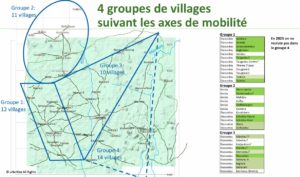
Another challenge facing Aurélie and Etienne is the need to demarcate the boundaries of the villages. Because if the arboRise project leads to deforestation, it will be in the project villages and not in the others. There is no land registry in these rural communities. There is no map showing village boundaries. Our two researchers have therefore formulated some working hypotheses:
- The arboRise project plots in a given village form the outlines of a polygon which, increased by a buffer proportional to the village population, represents the village boundaries
- Natural boundaries (rivers, catchment areas) or man-made boundaries (roads) form village boundaries.
They have thus been able to define the approximate boundaries of villages:

It can be seen that these fictitious boundaries seem to correspond to reality, since the deforested areas conform to these boundaries, as in the case of the village of Massenadou :

The next step was to calculate the deforestation trend for each village:

There has been a reduction in deforestation in the villages to the north of the perimeter, whereas land clearing has increased in the villages to the south, regardless of whether or not they are part of the arboRise project. This is due either to the microclimate, with the north receiving more rainfall than the south, or to increased human pressure, with the north, far from infrastructure, becoming more depopulated than the south. These North-South variations may also be caused by the NDVI normalisation factor, taken from the average of non-arboRise villages.
This data finally brings us back to the initial question: is there an increase in deforestation in the arboRise villages because of the arboRise project?
The two scientists compared the rate of deforestation in the project villages before and after the start of activities, and the rate of deforestation from the start of the project between arboRise and non-arboRise villages. In both cases, they found no significant variation in deforestation.


Of course, it will be necessary to repeat this analysis over the next few years. It will also be necessary to increase the precision of the measurement. In fact, only the land families participating in the arboRise project could be indirectly forced by the project to increase their land clearing. For this detailed analysis, we will first have to manually delimit all the plots in the project land-families in order to check whether deforestation is increasing significantly in these specific areas. Finally, we need to prove causality.
For the arboRise project, the method adopted by our two researchers is relevant, even if it can still be refined (choice of NDVI threshold, source of data and period analysed, standardisation of NDVI, etc.). This will make it possible to check the possible collateral effects of the project year after year, in order to find solutions to them (supply of bio-fertilisers to increase the duration of crops, supply of tools to increase agricultural productivity and reduce agriculture’s footprint on the soil, choice of seeds, etc.).
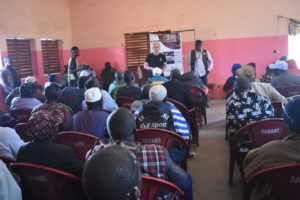
Many thanks to Etienne de Labarrière and Aurélie Sakic for their major contribution to our understanding of the phenomenon of deforestation! The whole report is available here.