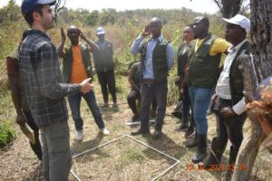
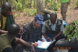
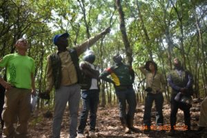
Our partner South Pole provided technical expertise in dendrometry training for the GUIDRE team:
- Random selection of measurement sites
- Establishment of 25m x 25m plots to measure tree biomass:
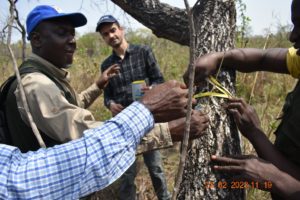
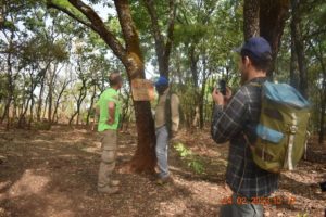
- Measurement of tree diameter at breast height
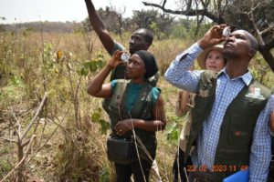
- Measurement of height with clinometers
- Calculation of biomass based on wood density of each species
- Adaptation of the plot size to the slope of the land
- Establishment of 3m x 3m plots to count the existing biomass of the shrub vegetation
- Establishment of 1m x 1m plots to account for the existing biomass of herbaceous vegetation
Three essential notions were addressed during these trainings:
Eligibility: a piece of land is only eligible for a carbon project when the forests have been cut down more than 10 years ago. A forest is an area of more than half a hectare with trees higher than 5 metres. Historical satellite images (Google Earth, Landsat, etc.) are used to verify eligibility. During our field visits we found that some areas that are deforested today appear as forest on some current satellite images, and vice versa. It is therefore important to choose the right satellite source and to learn how to interpret these images correctly, especially satellite images from 10 years ago. Our partner South Pole will carry out this analysis and then provide GUIDRE with eligibility maps. These will be used to immediately identify ineligible land (or land that will only be eligible in a few years’ time) when visiting landowners. When identifying new land, GUIDRE supervisors will also take care not to include parts of existing forests or armour-clad soils, on which vegetation is difficult to establish.
Baseline: The existing biomass on the land cannot be counted in the calculation of the carbon absorbed by the arboRise project (notion of additionality). This is why it is important to choose the fields with the least amount of trees, shrubs and grasses. It will also be necessary to classify the selected areas according to their vegetation cover in order to create statistical measurement strata. We will then proceed to measure the baseline, to calculate the volume of biomass to be subtracted from the project’s Emission Reductions.
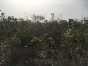
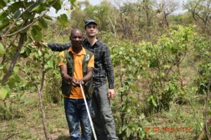
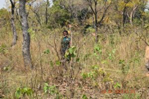
Ex ante measurements: scientific studies on forest biomass growth are numerous in Asia and South America, but rare in West Africa. This makes it very difficult to estimate the carbon sequestration potential of a project like arboRise. To compensate for this lack of scientific references, we will identify areas that were set aside by the authorities several years ago and on which the trees have grown. Measuring the current biomass on these plots will make it possible to deduce the average annual growth of the biomass and therefore the carbon sequestration potential of the project. Here on a plot of land set aside 23 years ago, near the village of Deyla:
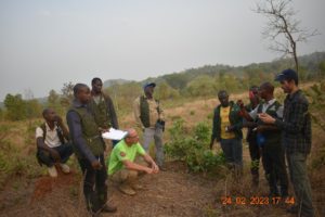
The three partners also visited 10 plots of land to be reforested in 2021 (for the record: 5,000 pellets of seed per hectare, sown without stacks). These visits led to the following observations:
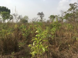
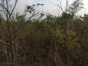
- The very strong natural regeneration complements the seedlings sown in 2021. The density of seedlings per hectare varies considerably depending on the nature of the soil and the fires. The three best sites have a density of 5000 stems per hectare, the three worst sites have a density of 500 stems per hectare.
- The observed biomass densities are consistent with biomass measurements by infrared satellite imagery (NDVI). Satellite data can therefore be used to target field visits.
- Plants sown in 2021 and spared by the fires reach an average height of 1.7m
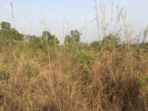
- Out of 12 plots visited, only 3 were affected by the fires. The growth of the trees is slowed down by one year when a plot has been affected by fire. On the three affected plots, the plants are about 80cm tall.